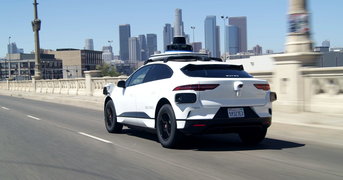
Waze and Waymo have teamed up to help combat the growing problem of potholes in Los Angeles.
The companies announced a program that will use Waymo's self-driving cars to better detect potholes in the city. The data will be available to city officials through the Waze traffic data-sharing platform, according to a news release last week.
The number of potholes in Los Angeles increased earlier this year after a heavy rainy season drenched the city. Residents reported more than 6,700 potholes in January and nearly 5,000 reports were filed in February and again in March, according to data from the city's 311 tip line analyzed by the nonprofit newsroom Crosstown LA.
The partnership is the latest effort in Waymo's long-standing commitment to making roads safer, Arielle Fleisher, the company's manager of policy research and development, said in the statement.
Navigation app Waze will also use the data to warn users when they approach a pothole, the company said.
Drivers will then be able to check the pothole identified by Waymo in real time.
Los Angeles has been slow to repair pavement problems on its 23,000 miles of streets in recent years.
The city repaired 310 miles of roads in fiscal year 2025, which ended in June, a precipitous drop from the 850 miles it paved a decade earlier in 2015, according to Crosstown. In fiscal year 2024, only 216 lane miles were paved.
The Office of Street Services, the department in charge of paving the city's streets, is in communication with Waymo regarding the pilot program, said Dan Halden, a spokesman for the city department.
“The office proactively manages the city's streets, ensuring that roads are treated not only to repair them but also to strengthen the street network and prevent future potholes,” he said.
Many cities, including Los Angeles, rely on residents to report potholes through the non-emergency 311 service. The process provides an incomplete picture of road conditions, according to Waymo and Waze.
The pilot program aims to fill gaps in reporting and was developed based on feedback from city officials.
“We want to leverage the safety benefits of our service by partnering with organizations and city officials to help improve the infrastructure we all depend on,” Fleisher said.
The pilot program is running in five cities, including San Francisco, and has already identified 500 potholes. The program is also underway in the Phoenix metropolitan areas; Austin, Texas; and Atlanta.
Companies plan to expand to cities with colder climates, which may make the pothole problem worse.
“Working together helps our community and improves our roads for everyone,” Andrew Stober, strategic partner manager at Waze, said in the release.