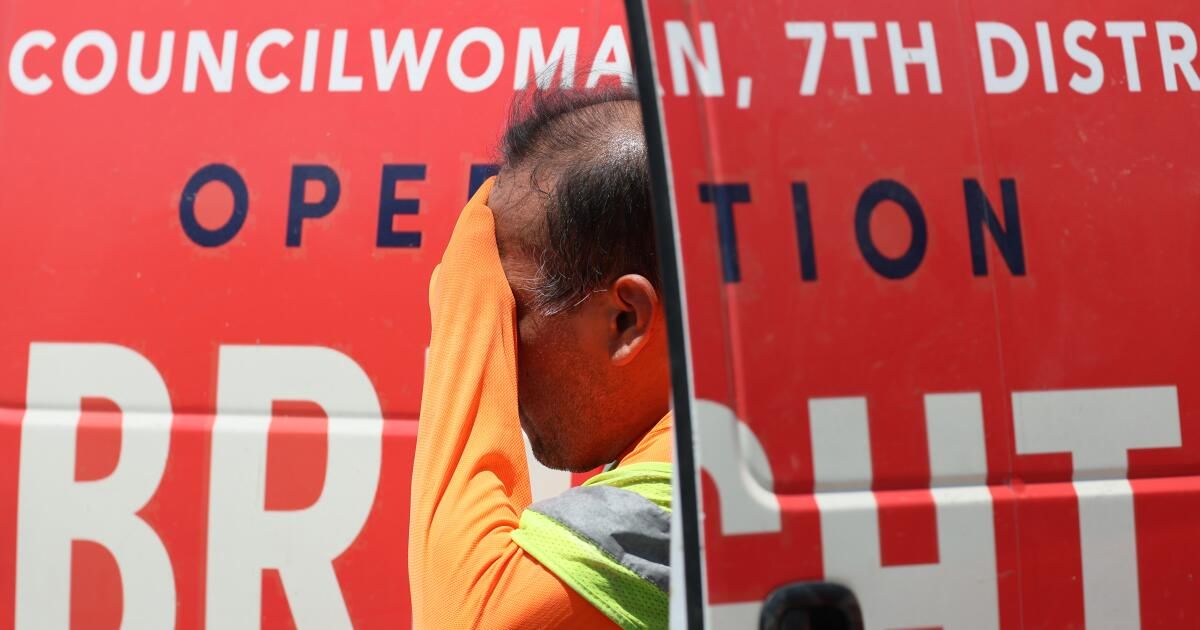
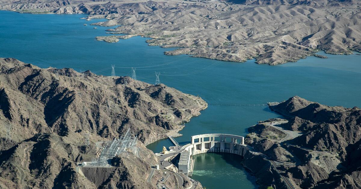
Californians may soon feel some relief after nearly two weeks of an oppressive heat wave that has relentlessly pummeled the state and set several temperature records.
“A cooling period should begin on Friday, [and last] “At least through the weekend,” said John Dumas, a meteorologist with the National Weather Service in Oxnard. “But when it starts out 10-plus degrees above normal, it’s still going to feel pretty warm.”
Dumas said most of Southern California can expect to see a few degrees of cooling each day, starting Friday and lasting through Monday, though some areas, including the Antelope Valley, will remain in the triple digits.
The ridge of high pressure, known as a heat dome, that has been driving the extreme temperatures has been stationary over California and its eastern neighbors since early last week. But forecasters say it will begin to shift eastward by the end of the week.
“Until that happens, we're going to be very, very hot,” said Dan Berc, a meteorologist with the National Weather Service in Las Vegas.
Potentially record-breaking and dangerously high temperatures are still forecast for much of the region through Friday.
Temperatures in Lancaster and Palmdale topped 110 degrees Tuesday, the sixth straight day the cities have recorded that mark or higher, doubling the length of the previous record. Barstow-Daggett Airport in the Mojave Desert again matched its all-time record of 118 degrees Tuesday, and several localities set high records for July 9, according to the National Weather Service.
That pattern is likely to continue for the next few days.
“Stay cool, stay hydrated and stay informed,” the weather service warned, urging residents to take extreme heat seriously. “Anyone affected by the heat should be moved to a cool, shaded location. Heat stroke is an emergency!”
Excessive heat warnings in southwestern California remain in effect through Thursday night, with high temperatures of up to 108 degrees possible across much of the Inland Empire and coastal valleys and mountains.
In Northern California, most heat advisories will remain in effect a little longer, through Friday, and the Bay Area mountains, Sacramento Valley and surrounding areas are bracing for a second spike of heat on Thursday and “a risk of widespread, significant to locally extreme heat is anticipated,” forecasters warned.
Parts of the state, including the Antelope Valley and much of the San Joaquin Valley, will remain under severe heat warnings through Saturday.
“A cooling trend is expected for Friday and the weekend, but temperatures will remain well above normal across the interior of the country,” National Weather Service officials wrote in a Wednesday forecast. “High pressure aloft continues to impact the forecast area, with dangerously warm weather continuing across much of the region through at least Thursday.”

