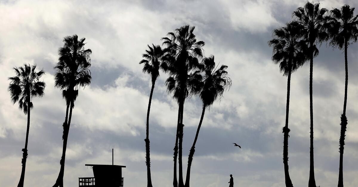
Los Angeles County can expect to see intermittent rain across the region starting early Monday and continuing into Wednesday, with the latest winter storm system expected to bring the heaviest rain and the threat of flooding across the region. central coast.
The slow-moving storm system began moving toward the Central Coast region Saturday night, bringing light rain to Santa Barbara and western San Luis Obispo counties, officials said. The storm's second, more powerful wave began approaching the coast on Sunday, increasing the likelihood of gusty winds, thunderstorms and high surf.
The Central Coast is expected to feel the brunt of this storm, according to the National Weather Service. The foothills and mountain ranges of Santa Barbara and San Luis Obispo counties could receive 8 to 10 inches of rain.
High surf advisories are in effect through Tuesday at all beaches in the region, with waves of up to 20 feet expected in some areas. Strong rip currents with large breaking waves are expected in the ports of Morro Bay, Port San Luis and Ventura.
There is also a brief risk of “weak tornado activity” during this period in San Luis Obispo County, David Gomberg, a meteorologist with the weather service in Oxnard, said during an online news conference Sunday afternoon.
In Los Angeles County, rain will be minimal Sunday night before increasing early Monday and turning into heavier rain Tuesday into Wednesday morning. Orange County and the Inland Empire will begin to feel the effect of the storm on Monday.
The greatest threat for coastal flooding, particularly in Malibu and Santa Barbara, will be Tuesday morning, Gomberg said.
“Los Angeles County may not be as favored in terms of overall rainfall totals and rainfall intensity compared to rainfall to the north. However, we are still very concerned about the impacts” due to previous storms, Gomberg said.
The engine driving the storm system across the central Pacific is the jet stream (high-altitude winds of more than 200 mph) that is expected to decrease as it approaches the coast.
The news is especially concerning given the drenching Southern California has received this month, especially in the Santa Monica Mountains and Hollywood Hills. With saturated soils, the chances of flooding, landslides and mudflows increase.
Once the system has passed, the state will have a few days to recover before the arrival of another possible system next weekend, Gomberg said, this time coming from the north and potentially colder.
Times staff writer Thomas Curwen contributed to this report.