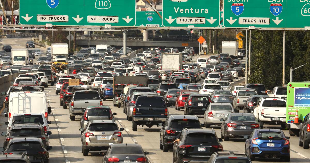
After an extended period of record-breaking heat that scorched Southern California and sparked wildfires, much of the state will experience below-average temperatures, rain and even early-season snow this week.
The National Weather Service issued its first snow advisory in 20 years for parts of the Sierra Nevada mountain range over the weekend. In Southern California, where three wildfires have scorched more than 115,000 acres and have been raging out of control for days, rapid cooling and higher humidity levels have already provided some relief to firefighters trying to control the flames.
The largest of the three, the Bridge Fire in the Angeles National Forest, was 11% contained as of Monday morning, while the Line Fire in San Bernardino County was 42% contained. The Airport Fire, which started in Orange County last week and spread into Riverside County, was 31% contained as of Monday.
“This is a pretty nice change of temperature and a relief after that heat wave,” said Bryan Lewis, a meteorologist with the National Weather Service in Oxnard.
Two back-to-back low pressure systems, which have already dropped temperatures 5 to 10 degrees below normal in Southern California, are expected to bring periods of drizzle Tuesday night into Thursday. Much of Los Angeles County could see less than a tenth of an inch. The foothills could see up to a quarter of an inch.
Temperatures are expected to remain in the mid-60s and low-70s on the coast and inland areas between 70 and 75 degrees. Downtown Los Angeles, which hit 112 degrees earlier this month, is experiencing a 40-degree drop in temperatures, Lewis said.
In the Sierra Nevada mountain range, about 3 inches of fresh snow could fall at elevations above 8,000 feet from Fresno County to Yosemite through Monday night. And there could be more after that, said Antoinette Serrato, a meteorologist with the National Weather Service in Hanford.
“The low pressure system is bringing in some pretty cold air from the Arctic area and that will bring some early snow to the region,” Serrato said.
While cooler weather is expected to continue to help crews, it doesn't portend a slow fire season, experts say.
“It’s a small detail in the overall fire season,” said Robert Foxworthy, a spokesman for the California Department of Forestry and Fire Protection. “We have ups and downs with the weather as patterns change, so the fact that we now have cooler weather and a slower fire season isn’t necessarily going to change the overall outcome of the fire season.”
The most damaging and destructive fires in Southern California typically occur in the coming months with the arrival of Santa Ana winds, which can help turn small fires into raging conflagrations.
Windy conditions hampered aircraft from flying over the bridge fire Sunday night, but crews were able to make some progress on containment.
Firefighters are primarily focusing on the northwest side of the fire, which remains the most active, in order to protect the communities of Big Pines and Pinon Hills. On the east side, the fire is less active but still poses a risk to the Mount Baldy area, according to Cal Fire.
Crews will continue to focus on the northwest portion of the fire Monday night. Cool temperatures are expected to help firefighters slow the blaze's massive growth, but winds will create another obstacle, Los Angeles County Fire Department spokesman Kenishi Hafkett said.
Winds are expected to shift from southwest to northwest between 4 and 8 p.m. Monday, which could give the fire more life and create spot fires away from the main blaze, Hafkett said.
The fire destroyed 54 structures and damaged 13 others. Three people, including civilians and firefighters, were injured.
Winds gusting up to 25 miles per hour near the Line Fire in San Bernardino County helped fuel the blaze Sunday night as it continued to advance through dry vegetation in the area. The fire destroyed one structure and damaged four others.
In lower elevations, firefighting conditions are expected to be more favorable due to cooler temperatures, higher humidity levels and cloud cover. In areas above 5,000 feet, temperatures are expected to be slightly warmer and drier. Highs are expected to be around 55 degrees, said Cal Fire spokesman Rick Carhart.
“This fire is certainly not over yet and there is more work to be done,” he said.