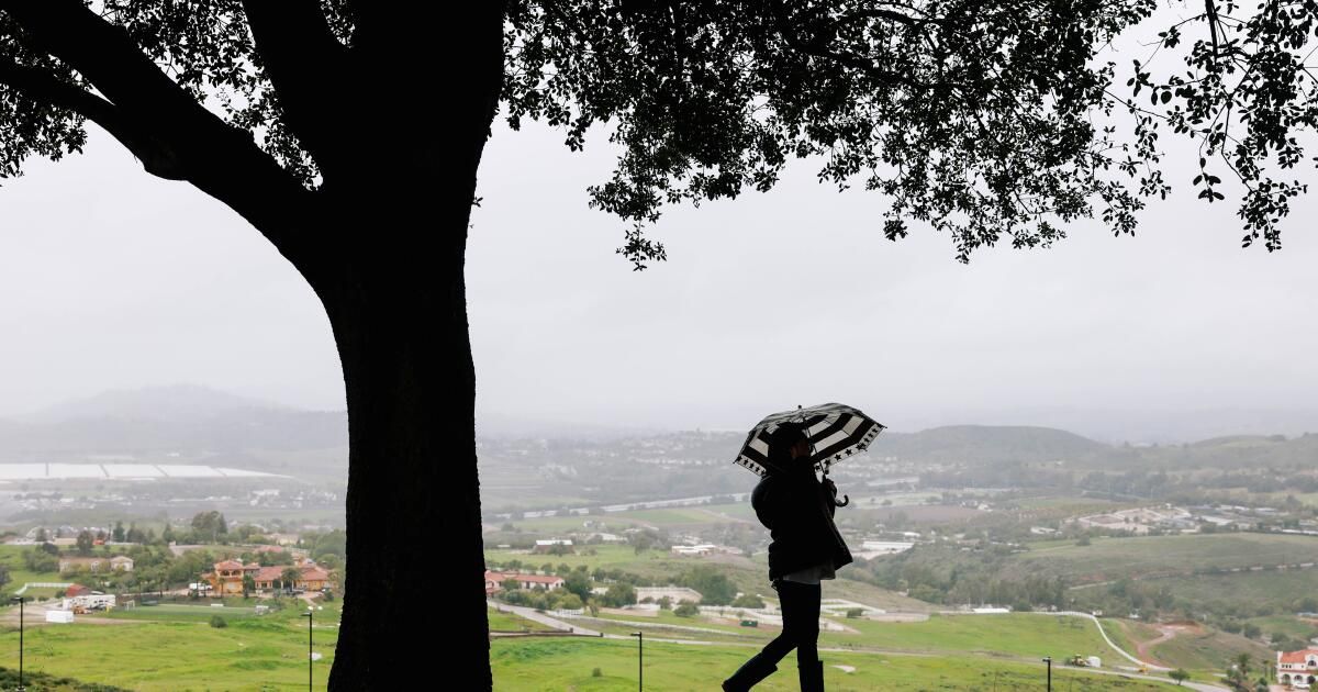
A slow-moving winter storm that hit Los Angeles with steady rain Monday was expected to ease briefly Tuesday before returning in the evening with heavy downpours, strong winds and the possibility of thunder and lightning.
Authorities, fearing the effect of additional rain on hillsides and stream beds already saturated by a massive storm earlier this month, issued flash flood warnings for a swath of Los Angeles from Malibu to Griffith Park, as well as parts of the Valley of San Fernando.
Residents were encouraged to stay home and watch for signs of landslides.
There were scattered reports of landslides throughout the day, including on the Pacific Coast Highway near Santa Monica; US 101 near La Conchita in Ventura County; and north of Malibu, where large boulders were said to be blocking lanes at the intersection of Malibu Canyon and Piuma roads north of Malibu.
An evacuation warning was issued for possible mud and debris flows along Santa Maria Road north of Topanga Canyon Boulevard until 9 a.m. Wednesday.
As of Monday afternoon, damage in the city of Los Angeles appeared mostly limited to a handful of downed trees and flooded freeway ramps.
In the Sepulveda Basin, Burbank Boulevard between Balboa Street and the 405 Freeway and Woodley Avenue from Victory to Burbank Boulevard were closed due to flooding, according to the city of Los Angeles Department of Emergency Management.
In Santa Barbara, where some places in the Santa Ynez Mountains saw nearly 10 inches of rain by midday, runway flooding forced the airport to close and a woman's body was found near a swollen creek.
It was unclear whether the death in a section of Mission Creek in downtown Santa Barbara was related to the storm. Sergeant. Ethan Ragsdale said in a statement that the body was “tangled in trees on the bank of the creek.” Detectives have not identified the woman, but do not believe she was the victim of a criminal act, according to the release.
The storm, which began Sunday, is forecast to bring 2 to 5 inches of rain to Los Angeles before leaving the area on Wednesday. Richard Thompson, a meteorologist with the National Weather Service in Oxnard, said the “second pulse” or phase of the weather system will begin to arrive from the ocean Thursday night and will bring more intense and unpredictable conditions.
“The atmosphere is really unstable,” he said. Up to an inch of rain could fall in an hour, with a 20% chance of thunderstorms and risk of waterspouts, dangerous wind gusts and even tornadoes.
“It's a very low probability, but the potential is there,” he said.
Precipitation through Monday morning varied widely.
Long Beach recorded just a quarter of an inch at noon, while Pasadena had 1 inch, Beverly Hills 1.47, downtown 0.80 and Porter Ranch 2.19. To the north, Ventura recorded 3.13 inches, Lompac 3.44 and Alisal Reservoir near Solvang 5.93.
Many areas are still recovering from the four-day atmospheric deluge in early February that flooded much of the state and dropped up to 14 inches of rain in Los Angeles alone.
In Rancho Palos Verdes, residents in neighborhoods vulnerable to landslides were preparing for the possibility of saturated soil moving beneath their homes as more rain fell.
The historic Wayfarers Chapel closed indefinitely last week due to increasing earthworks, disrupting the plans of couples who had planned to get married there.
Los Angeles County Supervisor Janice Hahn urged Gov. Gavin Newsom to visit the area and see the damage, noting that Rancho Palos Verdes officials planned to ask him to declare a state of emergency.
“I think if the Governor came here and saw the streets crooked, the houses sinking and cracking, and the historic Wayfarers Chapel about to collapse, he would understand the urgency of this request,” he wrote in a news release.
Brian Ferguson, deputy director of the state Office of Emergency Services, said people should keep their guard up, even if the rains appear comparatively light.
“It's a different type of storm than we had before, but it's definitely still life-threatening,” he said, adding that the waterlogged terrain means the slopes are primed to give way.
“There is so much saturation that there could be a risk of debris flows and landslides for several weeks after the rain stops,” he said. A particular concern, she said, is the strong winds. Gusts of up to 60 miles per hour were recorded on Monday, increasing the risk of downed trees or broken branches.
“The main cause of death in the last storm was trees and tree branches falling on people,” he said.
In Santa Barbara, officials used cranes to remove debris from flooded runways and it was unclear when planes would be able to resume operations.
“The airport is surrounded by creeks and waterways, and they are overflowing,” said Jackie Ruiz, public information officer for the county Office of Emergency Management.
The highest rainfall in the state was recorded at San Marcos Pass in the mountains north of Santa Barbara, where 9.94 inches of rain fell by midday. However, business remained steady at the historic Cold Spring Tavern.
“We had to wait almost an hour for lunch,” said Bianca Anderson, the assistant manager, adding that the crowds that normally throng the old stagecoach stop were piling into the bar. “We had the fireplace going and it was cozy.”
Times Staff writers Rong-Gong Lin II and Anthony De Leon contributed to this report.