Last week, as the Bridge Fire spread from the East Fork of the San Gabriel River to the beloved mountain communities of Mount Baldy and Wrightwood, questions arose about what would be left in its wake — including which hiking trails in the region were affected.
Now that the fire is 25 percent contained, damage assessments and trail closures are underway. While firefighters saved area favorites like Icehouse Canyon and San Antonio Ski Hut in the Mt. Baldy area and the Mt. Baden-Powell hiking trail near Wrightwood, several popular trails have burned.
To get a better sense of the damage, The Times consulted the CalTopo mapping tool, comparing its maps and the footprint of the Bridge Fire to lists of local hiking trails to determine which routes were in the burned area. That said, just because a trail is in the burned area doesn’t mean it was destroyed. We’ll learn more about the specific conditions of each trail in the coming weeks and months, as well as when trails might begin to reopen.
In the coming days, officials are expected to release the U.S. Forest Service's first closure order, detailing which parts of the burn area will remain closed. Just because a trail isn't listed below doesn't mean it's open. If you're unsure about a particular location, it's best to call an Angeles National Forest office to speak with staff about the area you'd like to visit.
Below is a preliminary list of hiking areas that burned in the Bridge Fire.
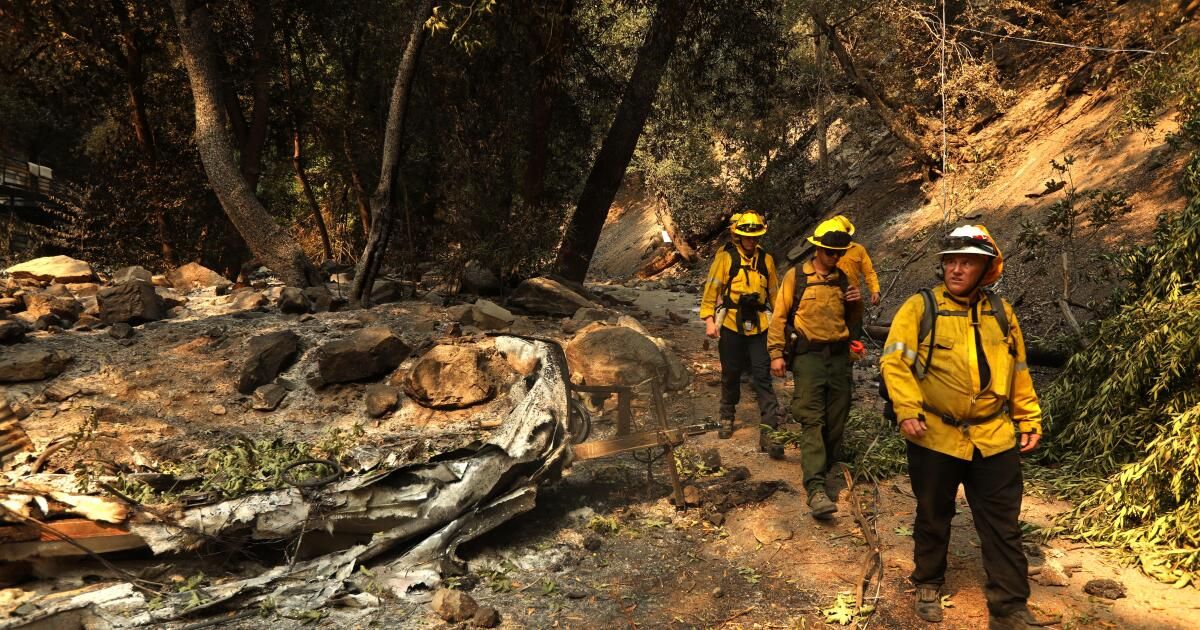
East Fork Area and Camp Williams
Hikers hike the Bridge to Nowhere Trail in the San Gabriel Mountains in October 2016.
(Gina Ferazzi/Los Angeles Times)
The Bridge Fire is named after the Cattle Canyon Bridge in the East Fork of the Angeles National Forest where it started.
Although the fire was close, firefighters were able to save Camp Williams Cafe & General Store and Camp Williams Mobile Home Park from burning down.
However, the hiking routes listed below appear to have been affected:
Mount Baldy Area

A hiker hikes the Mount Baldy Trail in May 2017.
(Brian van der Brug/Los Angeles Times)
The mountain community of Mount Baldy is currently inaccessible due to road closures, but will be accessible once firefighters and forestry officials survey and clear the area.
According to the fire map, popular hiking trails such as Icehouse Canyon and Icehouse Saddle did not burn in the Bridge Fire. Additionally, San Antonio Falls, Ontario Peak, Cucamonga Peak, Cedar Glen Camp and the three Ts (Timber Mountain, Telegraph Peak and Thunder Mountain) also did not burn. Although the fire came close to the Stoddard Peak trailhead, the trail was spared.
Below is a list of some of the popular trails that appear to have burned down, according to The Times' analysis:
Wrightwood and Vincent Gap Area

A charred landscape surrounds a home that survived the Wrightwood Bridge Fire. Many popular trails nearby were also damaged.
(Genaro Molina / Los Angeles Times)
Although the fire came within about 500 feet of the Mount Baden-Powell Trail, it did not burn in the Bridge Fire. Additionally, nearby mountains, including Mount Burnham, Throop Peak and Mount Hawkins, did not burn. The immediate area surrounding Jackson Lake did not burn, but several trails in that area did. The Grassy Hollow Visitor Center was destroyed.
This list is based on preliminary data and will be updated, including when the Angeles National Forest issues a closure order, describing whatI The areas will remain closed after the Bridge FThe anger is contained.