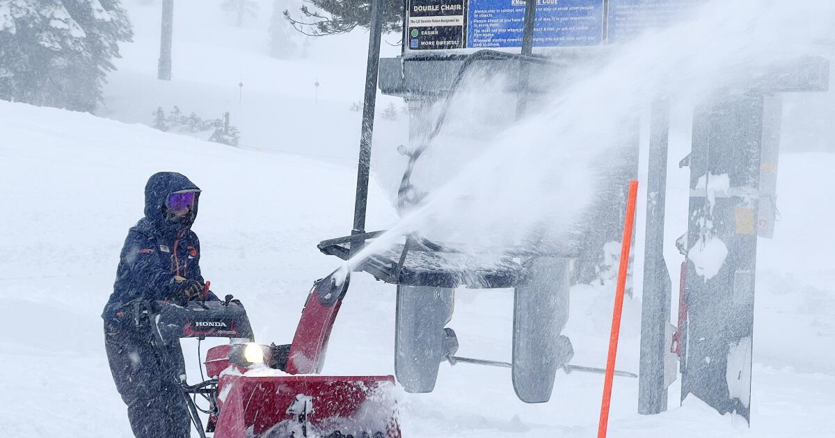
A rare blizzard warning was issued for the Sierra Nevada, including ski resorts on Mammoth Mountain and around Lake Tahoe, as officials urged people to avoid traveling during the treacherous weather Thursday through Sunday.
According to the latest forecasts, up to 8 feet of snow could fall. The blizzard warning was in effect from Lassen Volcanic National Park in Shasta County to Kings Canyon National Park in Fresno County.
Friday night into Saturday morning is expected to see the most extreme conditions of heavy snow and strong winds, with snow falling at a rate of 3 to 5 inches per hour. Wind gusts on the crest of California's most powerful mountain range are expected to “easily exceed” more than 100 mph, and residents are urged to be prepared for power outages and falling trees.
“There are many ways we can say it will be dangerous to travel on the roads or even leave home during this time period,” the National Weather Service office in Reno said. “The unclear conditions are very disorienting, so this is not the time to gamble with your or your family's life, especially during a planned weekend ski vacation.”
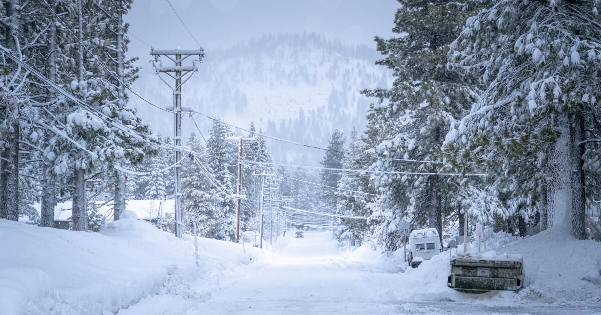
The most recent forecasts suggest that 4 to 8 feet of snow could fall in the Tahoe Basin at elevations of 7,000 feet above sea level, while 2 to 4 feet of snow could fall in cities around Lake Tahoe. (An earlier forecast said 5 to 12 feet of snow was possible at elevations of 5,000 feet above sea level.)
In Mono County, where Mammoth Mountain is located, there could be 3 to 6 feet of snow along the Sierra ridge, 1 to 3 feet of snow along communities along the highway 395, the main route between Mammoth and Southern California. Winds could gust up to 70 mph at lower elevations.
“Do not take this storm lightly. It is shaping up to be the strongest storm of the winter season. Prepare now,” the weather service office in Reno said. “If you must travel to the Sierra during this prolonged storm, have winter gear and plenty of supplies. “There’s nothing like a dangerous, impromptu camping trip in your car at Donner Pass.”
Forecasters warned that flights are likely to be delayed or cancelled; motorists would be ordered to put chains on their tires; and travelers could become disoriented due to blizzard conditions.
Along the two main routes that many San Francisco Bay Area visitors take to the Lake Tahoe area, the highest point on Interstate 80, Donner Pass, at an elevation of about 7,000 feet, could receive 6 to 8 feet of snow. The highest point on Highway 50, Echo Summit, could receive 5 to 7 feet of snow.
Officials also warned against traveling on any road above 1,000 feet in northwestern California. The National Weather Service office in Eureka warned of heavy snowfall that reached heights of up to 500 feet and warned of a “small hail threat” along the coast.
The highest point on Interstate 5 between Redding and the Oregon border, a spot just north of the town of Mount Shasta, could receive 6 to 18 inches of snow.
Closer to Southern California, there is a 20% to 30% chance of up to 1 inch of snow along Interstate 5 over Tejon Pass, commonly known as Grapevine, which connects Los County. Angeles with the Central Valley.
And there's also a 20% to 30% chance of 1 to 2 inches of snow falling along Highway 58 over the Tehachapi Pass, the key route between Bakersfield and the Mojave Desert.
The blizzard warning was extended to areas of Yosemite National Park outside of Yosemite Valley between Thursday afternoon and Sunday morning. Yosemite Valley, the most popular section of the national park, faces a winter storm warning from Saturday morning through Sunday morning. There could be blowing snow in Yosemite Valley on Saturday and heavy snow accumulations.
It is unclear when Storm Sierra will actually end. The worst snowfall and winds could ease on Sunday, forecasters said, but isolated snow showers could still occur.
“Monday appears to be the best time for post-storm cleanup and travel for now, but it doesn't appear to be in terms of storm potential,” the weather service office in Reno said, with potential for one or two more storms. next week.
In Los Angeles and Ventura counties, light to moderate rain is expected to begin Thursday night or Friday, persisting at least through Saturday, the National Weather Service office in Oxnard said. The storm could bring between a quarter and 1 inch of rain along the coast and valleys, and 1 to 2 inches in the foothills and mountains.
Snow levels in Los Angeles County could drop as much as 3,500 feet above sea level Saturday night into Sunday. In Wrightwood, 4 to 6 inches of snow could fall.
The San Francisco Bay Area was expected to see rain and flurries return Thursday and continue into Saturday, with snow levels falling to 2,000 feet above sea level.
The Sacramento Valley is expected to receive strong winds, with gusts of 35 to 50 mph possible from Marysville in Yuba County to the north, the weather service office in Sacramento said.