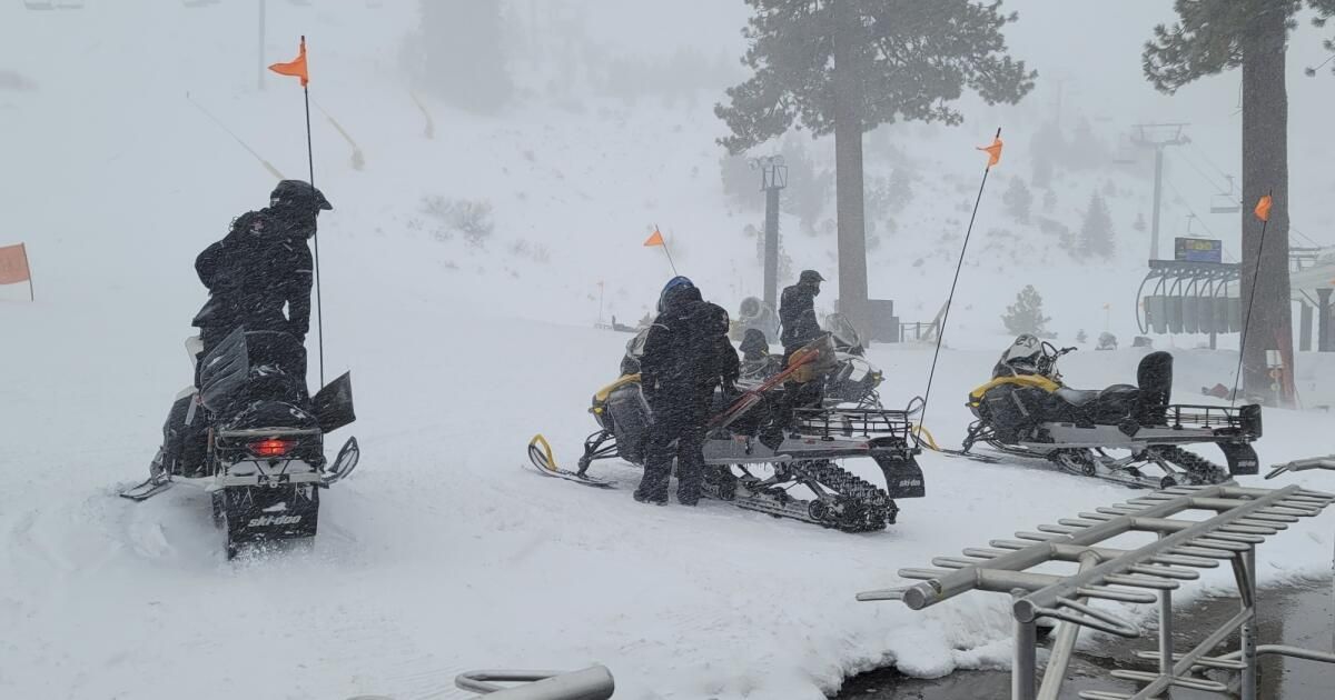
Weather officials are urging motorists to avoid the Sierra Nevada and southern Cascade Mountains this weekend as another heavy mountain snow system began moving through the region Saturday morning.
Snow will continue into early Sunday with accumulations of up to 2 feet above 6,000 feet and 4 to 8 inches above 3,000 feet, said Sara Purdue, a meteorologist with the National Weather Service in Sacramento.
On Saturday morning along Interstate 80, the popular route to Lake Tahoe, snow was accumulating up to 1 inch per hour and was expected to increase up to 2 inches per hour later in the day, according to the weather service. Wind gusts are forecast to exceed 50 miles per hour in some areas, Purdue said.
He said travelers should expect hazardous driving conditions with slippery roads and near-fog conditions at times. Motorists should be prepared for road closures and bring tire chains, extra warm clothing, food and water if venturing into the area.
The newest storm system comes after a skier was killed and another guest was injured Wednesday when they were buried in an avalanche at the Palisades Tahoe resort, officials said. It happened around 9:30 a.m. above the GS Gully area of KT-22 peak, the resort said in a statement.
The skier who died was identified Wednesday night by the Placer County Sheriff's Office as Kenneth Kidd, 66, of Point Reyes and the Truckee Tahoe area.
Hours before that avalanche, meteorologists had warned that the risk of an avalanche in the area was “considerable” for a portion of the central Sierra Nevada, which encompasses all of Lake Tahoe and much of the surrounding mountains.
A Level 3 threat indicates “dangerous avalanche conditions” that could cause “small avalanches in many areas; large avalanches in specific areas”, and warns that “natural avalanches [are] possible; “Human-triggered avalanches are likely.”