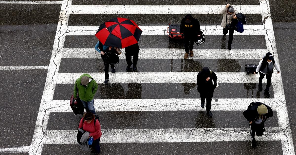
The first of a possible wave of wet storms is expected to hit California this week and extend into next week, bringing significant rainfall that could cause some localized flooding, especially in the northernmost and southernmost coastal corners of the state.
Just a week after areas of downtown San Diego were hit by dangerous flash flooding due to a historic deluge of rain, which inundated homes and roads, forecasters say the area should be prepared for similar conditions on Thursday.
“There is definitely a chance for heavy rain and thunderstorms, and that means we have a risk of flooding on Thursday,” said Brandt Maxwell, a meteorologist with the National Weather Service in San Diego. “It would be difficult for a repeat of what happened last Monday, but we cannot rule it out.”
With the storm still a few days away, Maxwell said it's still difficult to determine exactly where most of the rain will fall and how quickly. But the coastal regions of Orange and San Diego counties are likely to receive an inch of rain in an hour, amounts far in excess of what can cause flash flooding, he said. But such high rates are expected to be short-lived, and rainfall totals are likely to remain below 2 inches Thursday across much of Southern California.
Flood warnings have not yet been issued in the state, but weather officials said they are likely as the storm approaches.
As of Monday morning, the northwest corner of California has the highest chance of experiencing some flooding, including around Eureka, Fort Bragg and Redding, where precipitation could begin Tuesday, according to the latest forecasts. But coastal areas of Northern California and the Bay Area are expected to experience significant rainfall, primarily on Wednesday. In the North Bay and San Francisco coastal regions, forecasters warn of the possibility of “shallow landslides and road flooding” on Wednesday, as well as strong winds.
As the storm moves across the state, the Sierra is also expected to see significant snowfall, and Southern California mountains above 5,000 feet could reach anywhere from a few centimeters to more than a foot at higher elevations.
Moderate rains It will reach central California and Los Angeles County, but no significant flooding is expected in the region, said Lisa Phillips, a meteorologist with the National Weather Service in Oxnard.
“Maybe we'll see some road flooding, minor creek flooding,” Phillips said, “but [we’re] “I don’t expect a flood alert.”
And while forecasters warn that this week's storm is likely the first in a possible series of high-moisture storms, there have been no projections of any type of statewide “megaflood,” as has been rumored in some corners of the Internet. .
“There is currently no indication of extremely severe, catastrophic flooding across the state, resulting from a multi-week sequence of storms,” UCLA climate scientist Daniel Swain said in a webinar Friday. That phenomenon, called the ARkStorm Scenario, has been projected as a once-in-1,000-year megastorm that would cause massive flooding, as devastating as the Great Flood of 1862.
In 2022, researchers found that due to the worsening effects of climate change, such a massive storm is projected to become more frequent and intense, with a 2% chance of occurring in a given year, compared to a chance of 1% before global warming. .
“It's a real thing, but not something that's coming to California imminently,” Swain said. “The odds of this happening this year remain very low, and the odds of it happening in the next two weeks are close to zero.”
Still, this week's storm, which is expected to be part of an ongoing weather pattern, is what Swain called a “potentially high-impact storm pattern.” The system's forecast matches the typical El Niño pattern, driven by a river of warm atmosphere moving along a strong Pacific jet stream.
A weaker, though still wet, system is forecast to bring cooler temperatures to Southern California on Friday, with some showers likely, Phillips said. And then another storm is expected on Monday.
“Early next week, we could have a pretty significant storm system; right now it looks like it's moving more slowly, so the rain could last longer,” Maxwell said. “It could be a pretty wet February, at least a wet start.”