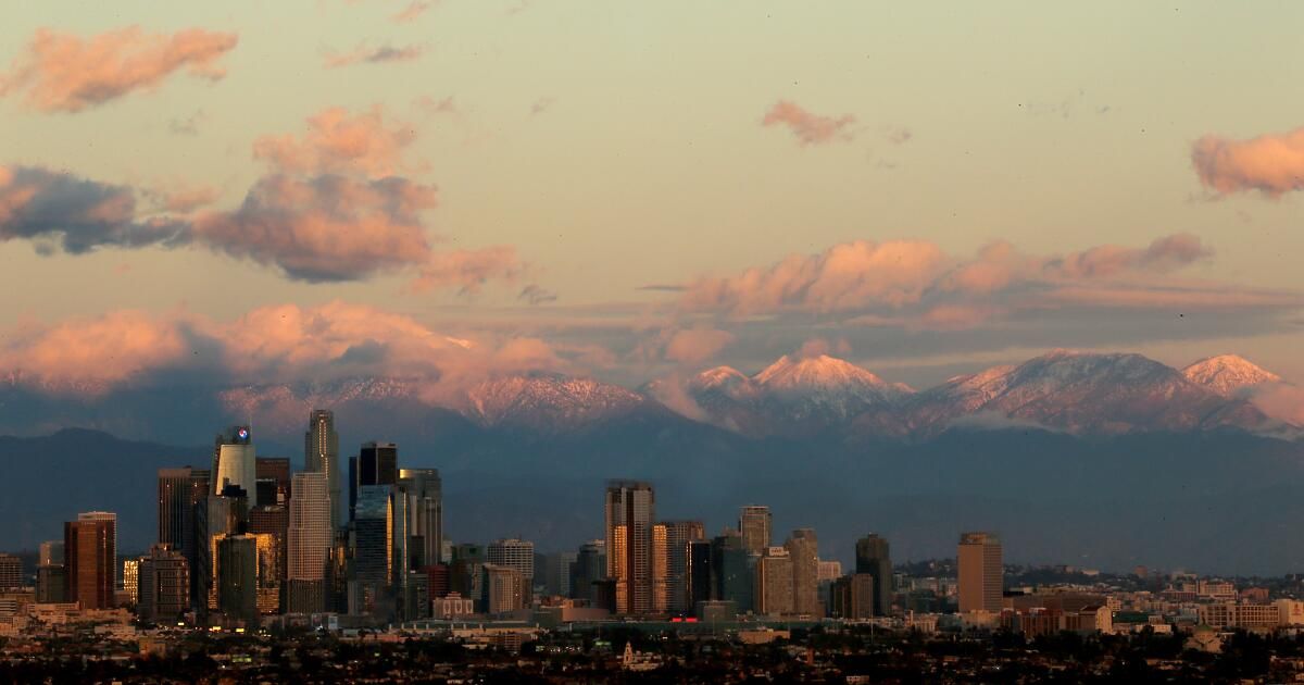
Just when Southern California thought it had gotten enough rain, another storm is headed for the region over Presidents Day weekend, and with it, the potential for more flooding and mudslides.
Rain is expected to move into western Los Angeles County Saturday night before drying out Sunday morning, according to National Weather Service forecaster Joe Sirard. Then, a second round of rain is forecast to begin Monday afternoon, increasing through the afternoon and continuing into Tuesday night. There is also a chance of showers on Wednesday night before the weather turns dry for the rest of the week.
(Paul Duginski / Los Angeles Times)
According to Sirard, Los Angeles County is expected to receive 1.5 to 3 inches of rain throughout the weather event. Mountain areas could receive 2 to 4 inches, while in the Antelope Valley, rainfall amounts are expected to range from 0.5 to 1 inch.
The weather service also issued a flood watch Sunday night through Wednesday morning for western San Luis Obispo County, central Ventura County, the south coast, coastal valleys and the county's mountains. from Santa Barbara. Storm runoff could cause flooding of rivers, streams, creeks, and poorly drained urban and low-lying areas. Debris flows and landslides are also possible.
The storm is expected to hit the San Francisco Bay area Friday night into Sunday morning. The North Bay and coastal ranges could receive 1 to 3 inches of rain, while other parts of the Bay Area could receive 0.2 to 1 inch. Another system is expected to hit the region on Sunday, bringing widespread rain and winds through Tuesday.
In early February, storms inundated the state with historic rainfall, damaged homes, caused debris flows and mudslides, and killed several people in Northern California.
Rainfall in downtown Los Angeles during that five-day period exceeded 9 inches, representing more than 60% of the city's annual total.
Because the ground is still soggy from recent storms, Sirard said there is also a possibility of landslides and debris flows in Los Angeles County. And although the rain is not expected to be heavy, there is still a chance of flooding in urban and low-lying areas because the rainfall is expected to continue for several days.
“Any of those areas that were susceptible to landslides in the last storm will be more susceptible this time because the ground is already saturated,” he said. “The soil won't be able to hold much water, so faster runoff will occur.”


