Southern California will get a reprieve from hot, dry weather this weekend as cooler temperatures arrive, bringing with them the possibility of scattered rain and snow in the mountains.
But the South is not out of the woods yet when it comes to fire weather. Warmer temperatures and Santa Ana winds are expected to return Tuesday, according to the National Weather Service.
According to the weather service, scattered light rain is forecast across much of the region from Friday night into Saturday morning. Colder temperatures are expected in Los Angeles, with overnight lows in the 40s and highs in the 60s on Saturday.
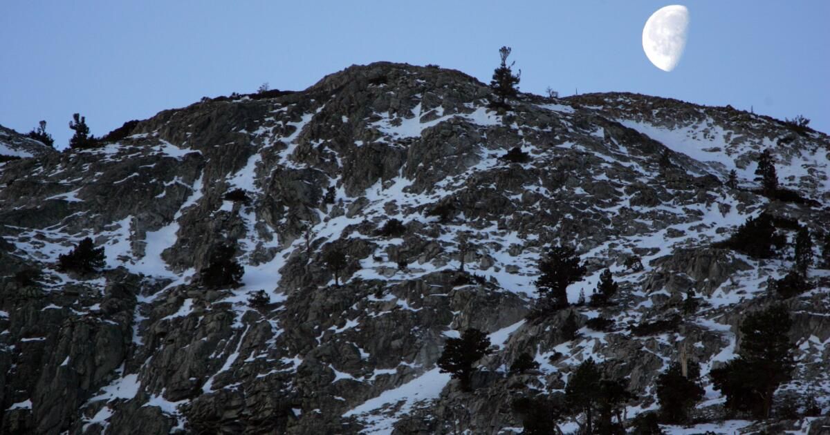
Mountains in San Bernardino and Riverside counties are expected to see a dusting of snow Friday night, with accumulation of up to 2 inches for communities above 5,000 feet in elevation. According to the weather service, a winter weather warning is in effect in these areas until 10 p.m. on Friday.
November snow bodes well for the start of the ski season. Big Bear's Snow Summit Ski Resort is scheduled to open Nov. 23.
Mammoth Mountain opened the season on Friday. There is already 12 inches of snow at the main lodge and 26 inches at the summit, with 3 to 5 inches expected to fall Friday afternoon and evening, according to the mountain report.
In Los Angeles and Ventura counties, a wind advisory was in effect from noon to 8 p.m. Friday with gusts of up to 45 mph hitting the region, according to the weather service.
Winds are expected to ease over the weekend and then pick up again next week with the return of the Santa Ana Tuesday through Thursday.
“Gusty Santa Ana winds will likely bring low humidities in the 5% to 15% range during this period… with temperatures rising into the 70s and 80s,” the weather service wrote in its Friday forecast. . “As a result, there is still a possibility of critical fire weather conditions occurring in portions of Los Angeles and Ventura counties sometime between Tuesday and Thursday.”
These gusts are not expected to be as strong as the strong winds that fueled the rapid spread of the Mountain Fire this month. Those strong winds and low humidity rates led the weather service to issue a rare “particularly hazardous situation” red flag alert on Nov. 7, warning of “extreme and widespread fire weather conditions.”
National Weather Service meteorologist Kristan Lund said the decision to issue red flag warnings will likely be made Sunday or Monday, but the danger will be considerably lower than two weeks ago.
“We could still have some fires, but they won't get as strong as they did with the Mountain fire,” he said. “We won't have strong enough winds to push the fires out as quickly.”


