Cool morning temperatures will give way to sunny skies across Southern California this week, but don't put away those umbrellas and rain boots just yet. More rain is on the horizon.
Temperatures throughout the week are expected to be in the low to mid-60s along the coast, near normal for February, said Mike Wofford, a meteorologist with the National Weather Service in Oxnard.
An offshore flow, which keeps air moving from land to sea, will weaken in the coming days, allowing a cold sea breeze to sweep across the region and lower daytime high temperatures by a degree or two to the mid-60s. . According to the weather service, nighttime temperatures are expected to be especially high and in some areas to drop to the mid-40s.
“It will be a little cold in the morning, but it will be a pretty nice week for the most part,” Wofford said.
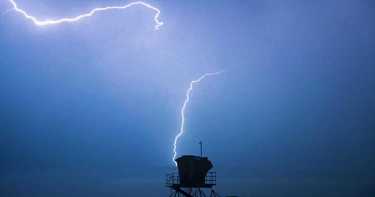
Forecasters anticipate that a storm system will begin flooding the region with rain on Sunday. It's unclear how much precipitation it could bring, but Wofford said early estimates show between 2 and 4 inches of rain in the valley and coastal areas.
Last week, an atmospheric river brought five days of torrential rain and heavy snow to California. The storm, which has become more severe due to El Niño and climate change, is the largest yet in the state this winter.
Heavy rains caused more than 500 landslides in the city of Los Angeles alone. It damaged more than 45 homes or buildings, flooded roads, forced dozens of evacuations and left residents without power, sometimes for days. Nine people died in the storm.
It's still too early to determine what all this wet weather will mean for California's water supply.
Recent storms have filled the state's largest reservoirs to 118% of their historical average. Statewide precipitation is 102% of average for the date, with more than 13 inches falling since the start of the water year on Oct. 1, according to state data.
The storms have also not brought enough snow to replenish the Sierra Nevada snowpack, which remains a key component of the state's water supply. Snow is anticipated in this weekend's storm, but it's unclear how much, forecasters say.
The latest series of storms increased the statewide snowpack to 76% of the average for the date. However, it is still only halfway to its April 1 peak, according to data provided by the California Department of Water Resources.
“It's going to be a decent storm and certainly an above average storm,” Wofford said of the system moving into California over the weekend. “We're still not sure if it will be anything like what we saw last time, but there is some potential.”