A magnitude 4.1 earthquake struck California's Central Valley on Monday, causing tremors in Bakersfield.
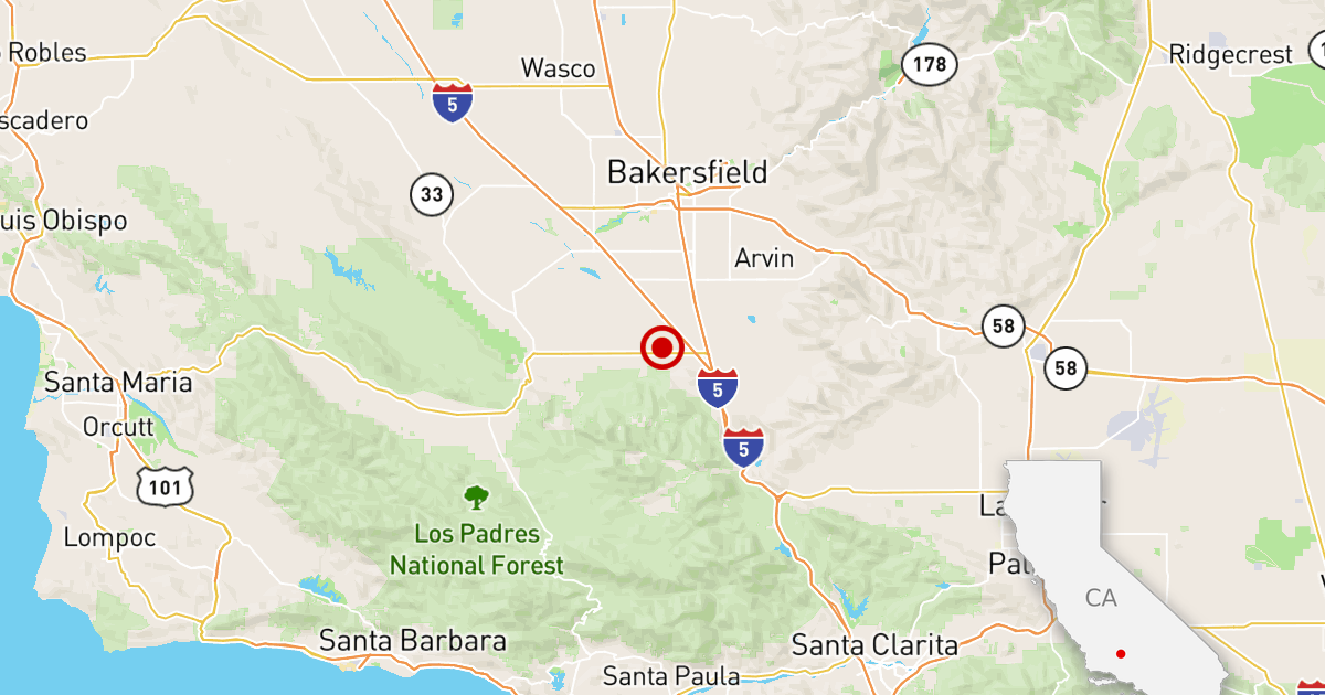
The epicenter was on farmland about 19 miles southwest of Bakersfield and about 16 miles northwest of the northern edge of the Grapevine section of Highway 5, where the San Joaquin Valley ends at the base of the Tehachapi Mountains.
A weak tremor was felt in Bakersfield and may have been felt in Lebec and Frazier Park, along the border between Los Angeles and Kern counties, according to the U.S. Geological Survey.
The earthquake occurred at 3:31 p.m.
The area has suffered destructive earthquakes in the past. In 1952, a magnitude 7.5 earthquake occurred with its epicenter about 12 miles southeast of Monday's quake.
That earthquake caused strong shaking in Bakersfield and caused 12 deaths and the collapse of some buildings, with the worst damage in the town of Tehachapi. Damage was also reported in Bakersfield and Arvin.
The 1952 earthquake was felt across the state, splashing into swimming pools in the Los Angeles area as well as water from pressure tanks on the roofs of San Francisco buildings. At least one building was damaged in San Diego.
Estimated property damage at the time was $60 million, equivalent to about $690 million today, the U.S. Geological Survey said.
The last few days have been seismically active in Southern California.
On Monday morning, a magnitude 2.9 earthquake struck beneath the east side of Los Angeles. The tremor, which occurred at 5:07 a.m., was the third to hit the El Sereno neighborhood of Los Angeles this month.
On Sunday at 5:26 pm a magnitude 2.5 earthquake occurred in the Yorba Linda area.