The rivers of northern Bihar play an important role, bringing fertile silt from the Himalayas, supporting agriculture in one of India's most densely populated rural regions. They have repeatedly caused floods that devastate villages, displace families and leave behind long-term economic hardship. (Image: Wikimedia Commons)

Among rivers, one stands out for the magnitude and regularity of the destruction it causes. This recurring destruction has earned it a grim name rooted in experience rather than geography. (Image: Wikimedia Commons)

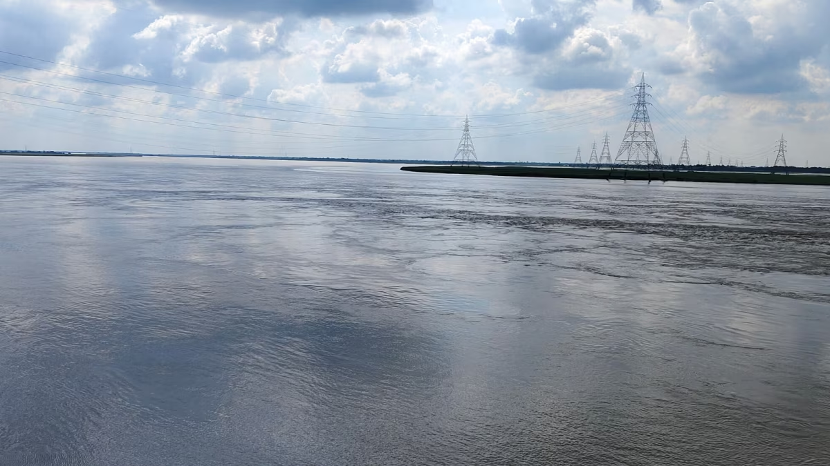
The Kosi River is widely known as the “Sorrow of Bihar”. The Kosi River basin is among the most complex river systems. Its basin encompasses six geological and climatic belts, ranging from elevations above 8,000 meters on the Tibetan Plateau to about 95 m on the Gangetic Plains. (Image: Wikimedia Commons)

The river drains the Tibetan Plateau, the Himalayas, the Himalayan Midhill Belt, the Mahabharat Range, the Siwalik Hills and the Terai. (Image: Wikimedia Commons)

One of the main sub-basins, the Dudh Kosi, alone contains 36 glaciers and 296 glacial lakes, making the river very sensitive to melting glaciers and heavy rainfall. (Image: Wikimedia Commons)
 Basin to the north, the Mahananda Basin to the east, the Ganges Basin to the south and the Gandaki Basin to the west.")
The Kosi Basin is surrounded by several major river systems: the Tsangpo (Yarlung Tsangpo) Basin to the north, the Mahananda Basin to the east, the Ganges Basin to the south and the Gandaki Basin to the west. (Image: Wikimedia Commons)

Upstream of the Chatra Gorge, the Kosi system is fed by eight major tributaries. From east to west, these include the Tamur River in eastern Nepal, the Arun River and the Sun Kosi, along with their northern tributaries Dudh Kosi, Likhu Khola, Tama Koshi, Bhote Koshi and Indravati. (Image: Wikimedia Commons)

These major rivers converge at Triveni, so the river is called Sapta Koshi, which means “Seven Rivers”. From this point it runs through the deep and narrow Chatra gorge. The gorge was formed because the Kosi predates the Himalayas: it existed before the mountains rose and gradually made its way downwards through the high terrain rather than detouring. After emerging from the gorge, the Sapta Koshi is controlled by the Koshi Dam before entering the flat and flood-prone Gangetic plains. (Image: Wikimedia Commons)

It is known as the “Sorrow of Bihar” because its frequent floods inundate fertile farmlands year after year, severely disrupting the rural economy. The phrase captures centuries of recurring devastation – destroyed crops, damaged homes and loss of livelihoods – caused by a river that rises in the world's highest mountains and rages across one of India's most flood-prone plains. (Image: Wikimedia Commons)